


Tuesday could bring a chance for “enhanced risk” of severe weather. Parts of McHenry, Lake, DeKalb, Kane, DuPage, Cook, LaSalle, Kendall, Grundy, Will, and Kankakee counties could see major thunderstorms with temperatures in the 60s.
The new round of powerful weather comes just days after the major storms that blew through the area on Friday. The area saw wind gusts of 80 miles per hour with at least a dozen tornados touching down.
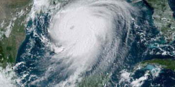
 Weather Forcast
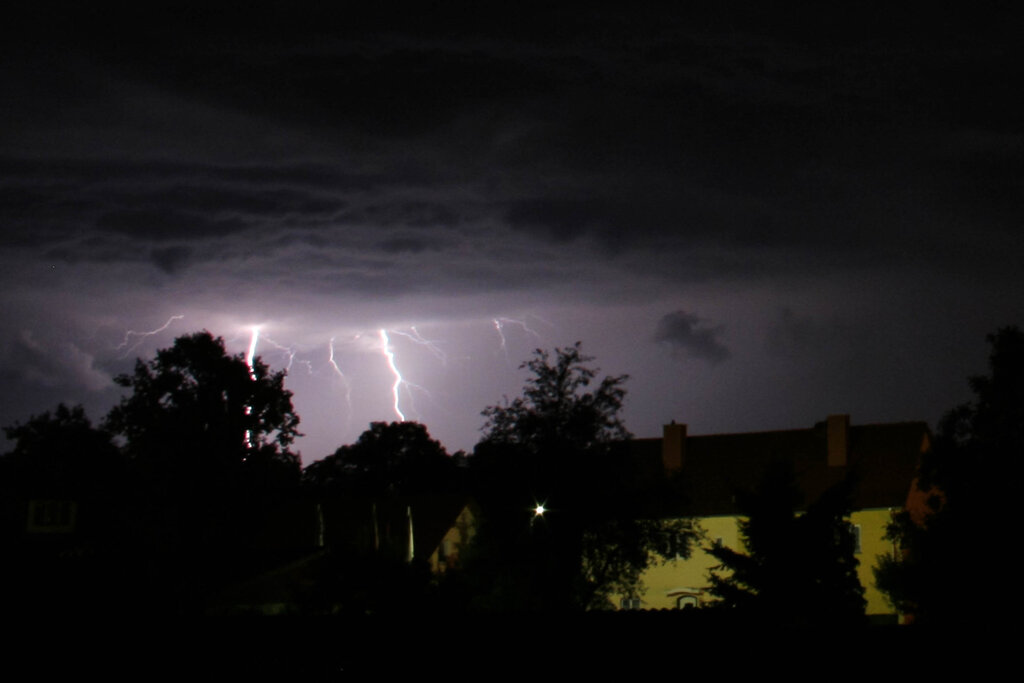
Tuesday’s possible storm would also come with wind gusts, damaging hail, and a chance of isolated tornadoes. However, the severity of the weather’s impact is uncertain. There are also questions about whether an area of high pressure will weaken enough for the storms to develop. As the storm rolls closer more details will be known.
Both Tuesday and Wednesday are predicted to see temperatures in the high 60s before dipping back down to the upper 40s and low 50s Thursday.
Impact of Friday’s Storm
Friday’s storm brought 14 confirmed tornadoes to Northern Illinois, including one that tore the roof off of the Apollo Theater leaving one person dead. The death toll currently stands at 25 victims from Friday’s storm.
Residents should expect thunderstorms that are strong later in the day. The sky will be mostly cloudy. The weather system could bring flooding downpours, hail, damaging wind gusts, and as aforementioned an isolated tornado. As the nighttime comes in people should expect the winds to pick up.
People should be prepared for possible power outages and severe damage. If anyone needs to out during inclement weather they should use extreme caution.
By Sheena Robertson
Sources:
NBC 5 Chicago: Most of Chicago Area at ‘Enhanced Risk’ of Severe Storms in Coming Days
WGN9: 14 tornadoes touchdown in Chicago area, NWS confirms
Accuweather: Chicago Forcast
Top and Featured Image Courtesy of dr_knox‘s Flickr Page – Creative Commons License
Inset Image Courtesy of Flóra Soós‘ Flickr Page – Creative Commons License
